Lake Urema Floodplain
Lacus Urema (Floodplain)
Location
Gorongosa National Park, Mozambique
Date
28/07/2014
Description
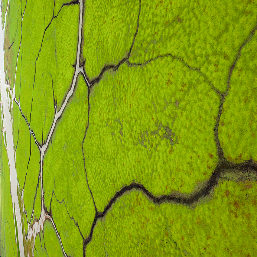
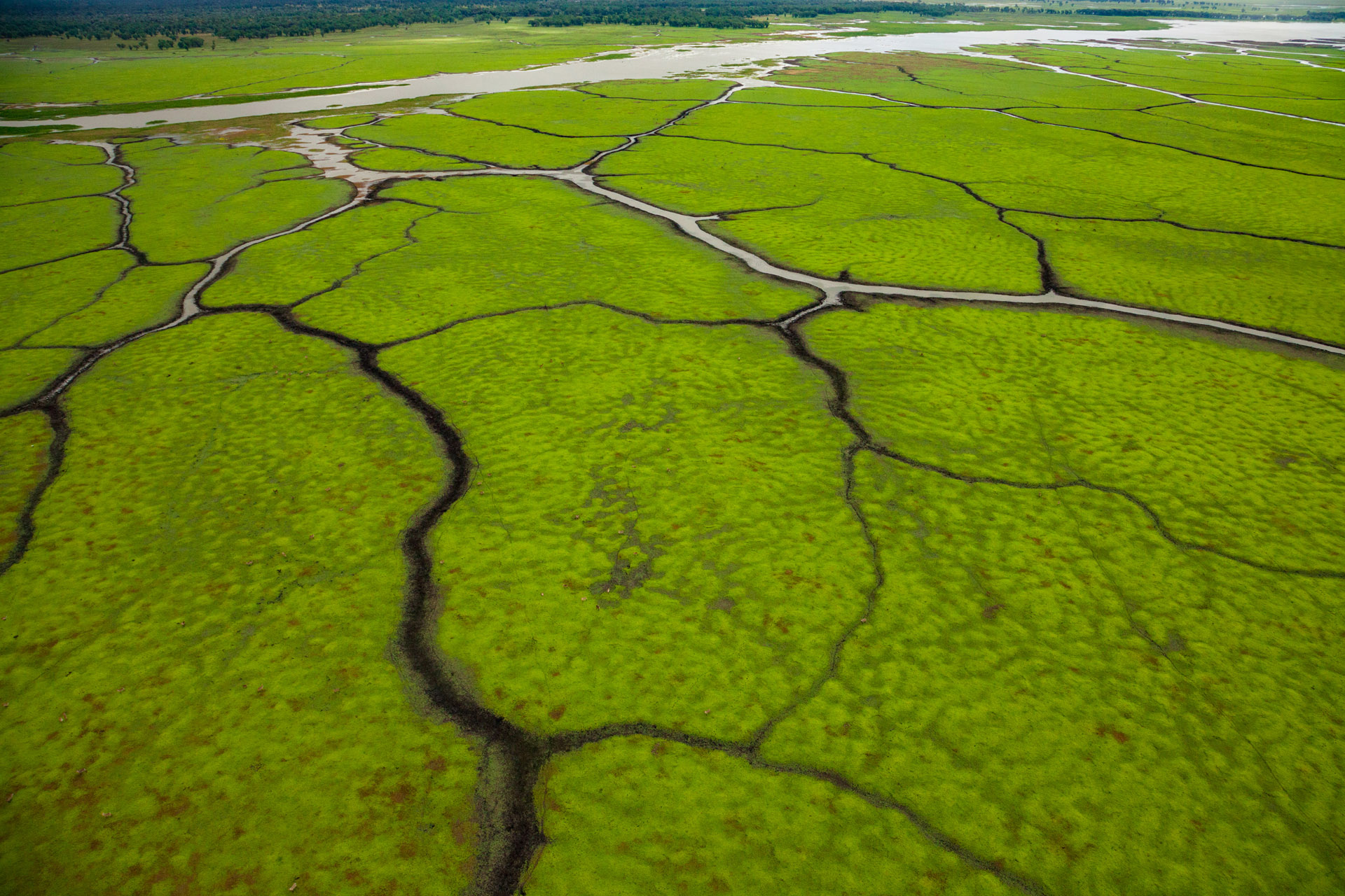
An aerial view of channels on the floodplain of Gorongosa National Park, Mozambique. This part of the park is underwater for 3 months of the year. As it starts to dry out, hippos and antelope use these channels to travel, deepening them for the next year. This positive feedback cycle creates these beautiful patterns that can only be seen from the air.
Photo Link
https://www.instagram.com/p/BtY_BOKgFeB/?utm_source=ig_web_copy_link
Learn More
https://www.jenguyton.com/gorongosa-national-park

